Check out these four updates from Leander, Liberty Hill and Williamson County.
WilCo adopts floodplain mapping study to guide development, reduce flood risk
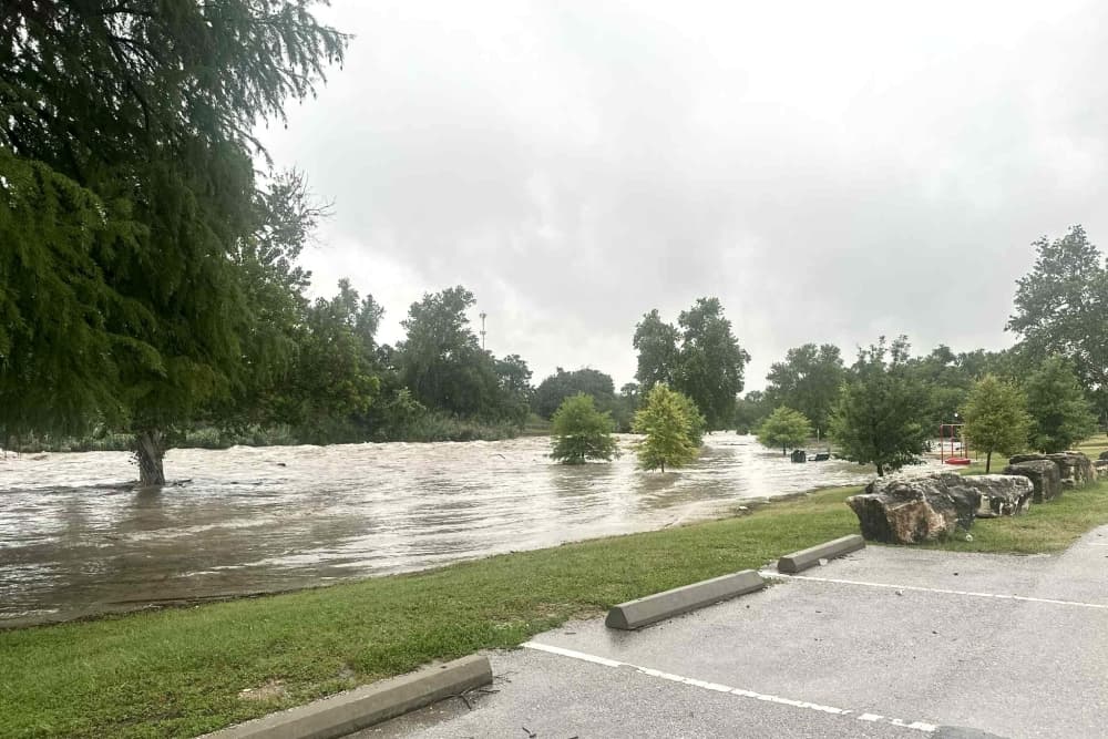
Williamson County commissioners adopted the Atlas 14 Floodplain Mapping Study on March 24, which identifies flood-prone areas to guide growth and development in the county to help reduce flood risk, according to county documents.
How it works
The Atlas 14 study identifies flood-prone areas using updated scientific rainfall data from the National Oceanic and Atmospheric Administration, along with topographic information.
Williamson County will use the study for drainage and floodplain management in the county's unincorporated areas, according to a news release.
The Texas Water Development Board accepted the study in 2025, and with recent court approval, the study can be used to regulate the floodplains and enforce permits for encroachment.
The impact
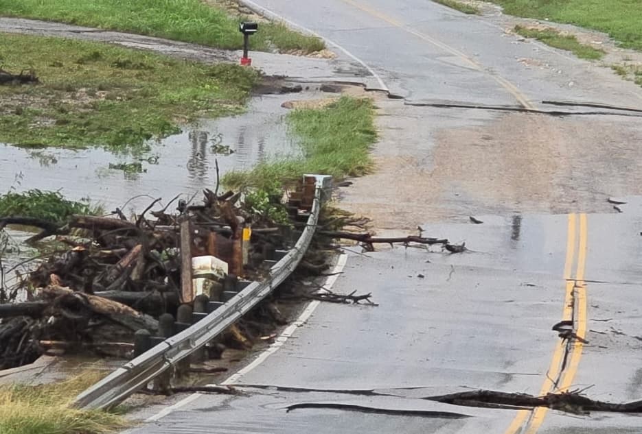
In the past decade, Williamson County has experienced severe flooding, including in 2010, 2015 and 2017. Most recently, deadly floods over the July 4, 2025, weekend devastated parts of the county.
“There was a bunch that we didn't know, and I think we're going to see ... as the growth comes, the advantages to the county staff, or our city staff, to help keep our citizens safe, that’s going to be invaluable,” Precinct 4 commissioner Russ Boles said.
Liberty Hill approves $5M contract for wastewater treatment facility
Liberty Hill is moving forward with plans for new infrastructure to treat wastewater that will be reused for irrigation within Santa Rita Ranch.
City Council approved a $5 million contract Feb. 25 with engineering firm Garver for final design and construction of the North Fork Wastewater Treatment Plant.
Funding for the final design and build-out will come from the city's wastewater impact fees and a 2026 special revenue bond, according to city documents.
Construction of the facility is scheduled to be completed by spring 2029. Director of Public Works Jacob Parsons said he expects it will serve other developments as well in the future.
Liberty Hill to establish city's first engineering department, overhaul design standards
Liberty Hill will hire its first city engineer and supporting staff after City Council approved funding at its March 25 meeting.
The details
City Council approved an amendment to the fiscal year 2026 budget that would allow the new staff to be brought on board before fiscal year 2027.
Six positions will be added, including a city engineer, two project engineers, a GIS analyst, a construction inspector, and an information technology specialist, who will be in a separate department.
Deputy City Manager Brandon Pritchett said that by bringing the position of city engineer in-house, the city will save money, improve efficiency and ensure that projects fit within the city’s broader goals and plans.
The cost
Pritchett said the city currently spends about $1.5 million per year in third-party engineering costs for project review and geographic information system management.
City documents indicate the city anticipates spending about $680,000 annually for the new positions going forward, saving roughly $900,000 per year in engineering costs.
One more thing
In addition, City Council members approved a $270,000 contract with engineering firm Freese and Nichols for the development of the city’s first engineering design manual.
New disc golf course coming to Devine Lake Park in Leander
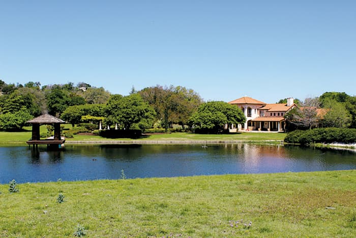
The city of Leander will build a new disc golf course at Devine Lake Park in partnership with the nonprofit Hill Country Hyzers Disc Golf Club.
City Council approved an updated agreement with the nonprofit March 19.
The city currently operates an existing disc golf course at Benbrook Ranch Park in partnership with the Hill Country Hyzers. However, the Benbrook Ranch Park will be disrupted by construction of the North Brushy Creek Interceptor—a project to improve water and wastewater infrastructure in the area—according to city documents.
The new “beginner-friendly” course at Devine Lake Park will allow players to continue to play disc golf in Leander while that construction is underway.