
A Project Identification Exercise was held June 25 at Bastrop City Hall to discuss protecting the floodplain, reducing runoff and maximizing long-term resilience, as developments continue throughout the area.
“Participants at the workshop shared recurring concerns about limited public understanding of floodplain management, development impacts and local drainage issues,” according to a report spurred by the workshop.
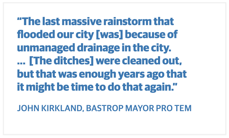
Officials noted that the workshop was necessary to prevent a moratorium on new development permits when a severe rain event happens—an action council members took in 2018-19 when previously undeveloped areas that had never flooded before were inundated with precipitation.
During an Aug. 12 council meeting, Elizabeth Wick—a project engineer with the city of Bastrop—highlighted objectives spurred by the workshop, such as floodplain education and outreach for local leaders and residents, and a framework for “resilient development” with green infrastructure opportunities.
“Multiple data sources, unknown personal risks and confusing drainage decisions all suggest a need for improved education and outreach between city officials and the general public,” according to the report.
For Bastrop, the focus includes identifying:
- The difference between base-level engineering and flood insurance rate maps, how to interpret
- them, and how they can be utilized
- Local drainage challenges and responsibilities
- Flood insurance options and affordability
- Regional and local risk mitigation measures
Bastrop City Council approved an amendment to its Bastrop Code of Ordinances on Aug. 26 to adopt a 50% credit, which will allow property owners or developers to reduce their total calculated impervious surface area.
Wick said the parties will also be required to file a maintenance agreement for the drainage facilities with the County Clerk’s Office and submit a biennial inspection report to the city to ensure the facilities are properly maintained.
“There is currently no such agreement or inspection report required, which leaves the city in a precarious position during a flood event,” Wick said.
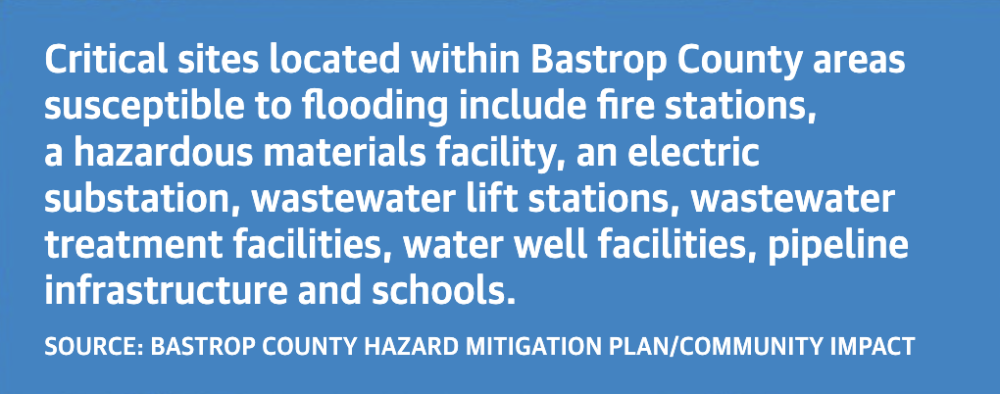
The city of Bastrop is one of 11 participating jurisdictions in the Bastrop County Hazard Mitigation Plan.
The Federal Disaster Mitigation Act of 2000 and Federal Emergency Management Agency require communities to adopt a hazard mitigation action plan to be eligible for the full range of pre-disaster and post-disaster federal funding.
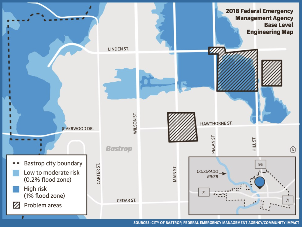
Although the Bastrop County Hazard Mitigation Plan was last updated in 2022, FEMA recently released its preliminary flood insurance rate maps for residents and business owners in the cities of Bastrop, Elgin and Smithville, as well as those in the unincorporated areas of Bastrop County, to review.
It will also be a tool that Bastrop officials will rely on in the coming weeks, months and years as they continue their work toward building a safer community.