

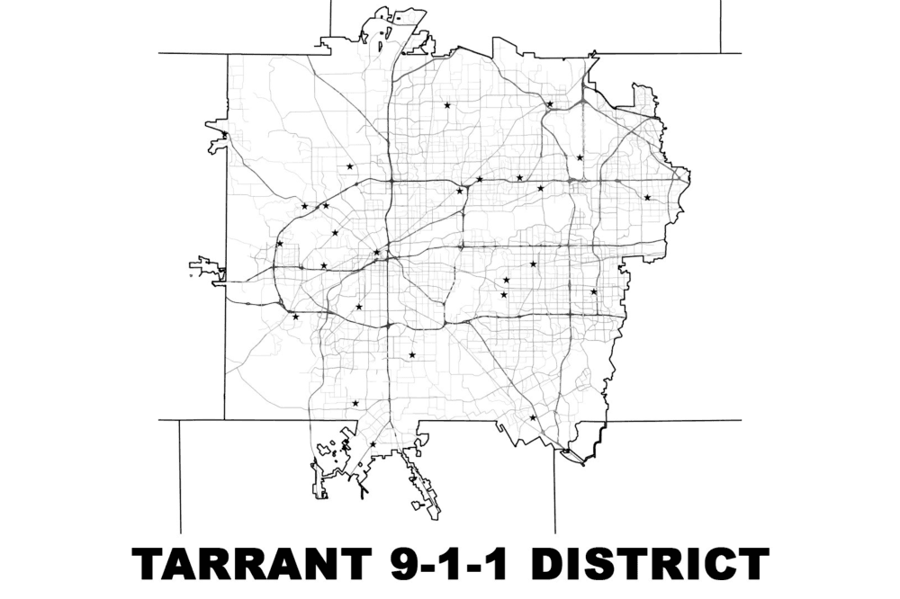
When someone dials 9-1-1 in a crisis, they expect help to arrive quickly. What most residents never see is the sophisticated geographic technology working behind the scenes.
At Tarrant 9-1-1 District, the geographic information systems, or GIS, department ensures every call for help can be located accurately and routed efficiently. The district spans more than 1,100 square miles across Tarrant County—serving a rapidly growing population of roughly 2.7 million residents.
“Simply put, GIS is a system that creates, manages and analyzes data,” GIS Director Phillip Rohrbough said. “We digitize the real world into a definable, queryable environment.”

Faster, smarter emergency response
Every second counts when someone calls 9-1-1. GIS focuses on one mission: locating emergency callers accurately. Accurate GIS data means calls reach the right dispatch center faster, with fewer transfers and more precise locations. For residents who can't speak during an emergency, it may be the difference between being found and being lost.
Understanding how that works starts with the type of call coming in.
A call is treated differently if it is a landline or wireless. Landline caller’s information typically appears automatically. Wireless calls are more complex because they use phone towers. Cell towers could only estimate a caller's location, sometimes routing the call to the wrong dispatch center entirely—and each transfer cost roughly 45 seconds.
Today, the district is transitioning to location-based routing for wireless calls. Instead of estimating location based on the nearest cell tower, the system now uses more accurate device-based location data, allowing calls to be sent directly to the correct 9-1-1 center.
“Now we’re using the device’s location, and it automatically routes there,” Rohrbough said.
The shift eliminates the misdirected transfers that plagued tower-based routing — saving residents an estimated 5 million seconds per year.
Precise mapping may be behind the scenes, but it saves time and lives when it matters most.
Maintaining accuracy across a growing region
With new subdivisions, garage apartments and commercial developments constantly being built, maintaining accurate data is an ongoing effort.
The district works closely with member cities, receiving official address assignments and street updates. The GIS team conducts routine checks to identify discrepancies.
As the region grows, so does the demand for reliable emergency response. The district handles 2 to 2.5 million 9-1-1 calls annually, underscoring the need for GIS systems that evolve alongside the communities they serve.
Exploring new possibilities
The GIS team is exploring emerging tools, including indoor mapping for schools and public buildings and 3D modeling for enhanced situational awareness.
“We develop it here, put it in a lab system, break it, and test it every way, shape and form,” Rohrbough said. “If the potential is there, we want to investigate it.”
Not all innovations will immediately reach every dispatch center; the district continues testing new capabilities to strengthen emergency response.
To learn how the Tarrant Area 9-1-1 District supports local dispatch centers and the communities they serve, visit Tarrant 9-1-1 District here.
The above story was produced by Multi Platform Journalist Chloe Chapel with Community Impact's Storytelling team with information solely provided by the local business as part of their "sponsored content" purchase through our advertising team.