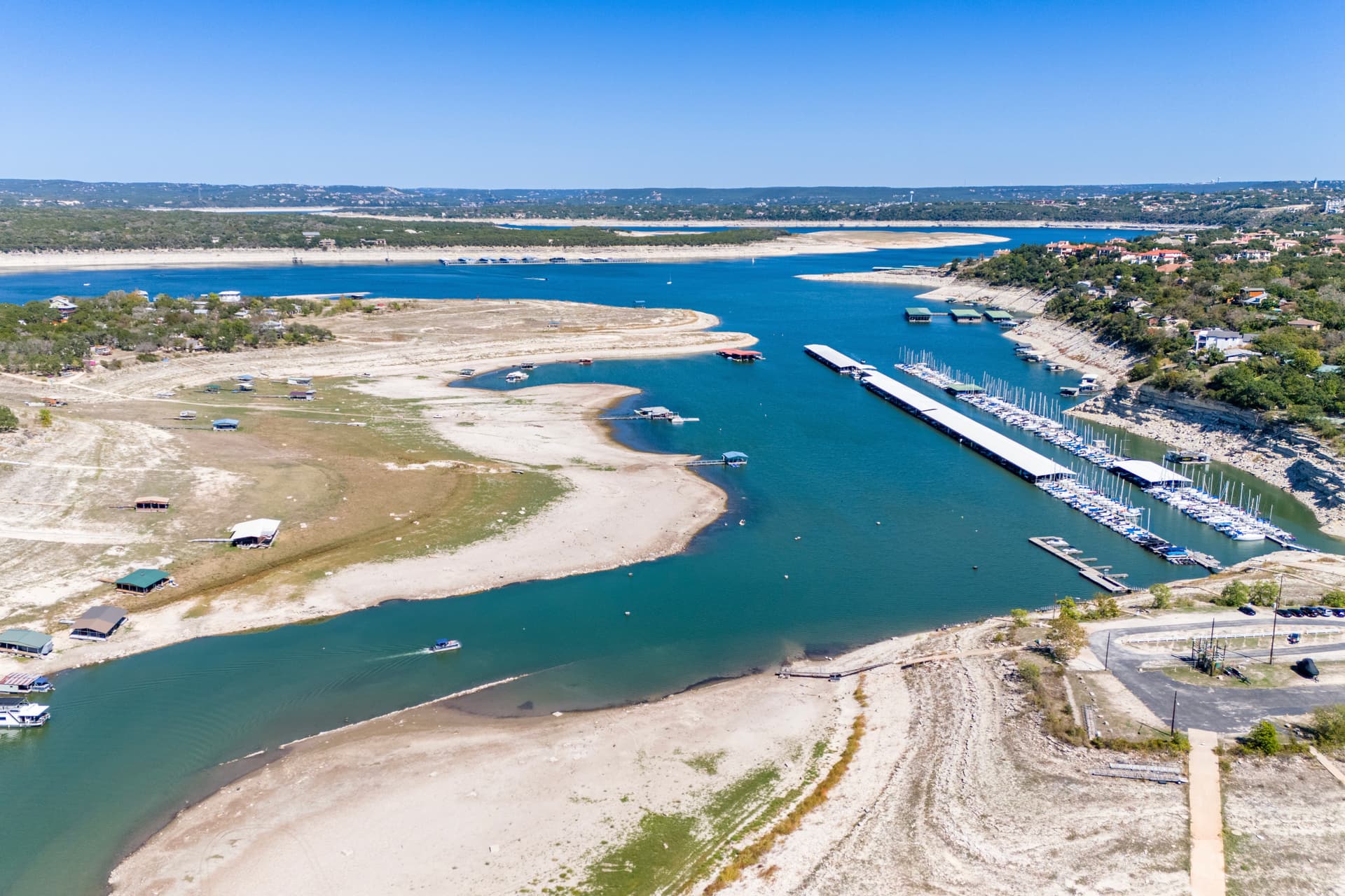
The Highland Lakes Watershed could supply up to 21% less water during a severe drought than the Lower Colorado River Authority currently estimates, according to a new study released by the Central Texas Water Coalition that found less rainfall is reaching Lakes Travis and Buchanan despite relatively steady precipitation.
The background
Nine of the 10 years with the lowest amounts of water flowing into the Highland Lakes have occurred since 2006, while only three of the watershed's lowest rainfall years occurring in that same period, according to the study.
Although rainfall over the watershed has been steady for more than 100 years, the land is still sending less of each year's rain to Lake Buchanan and Lake Travis.
The study finds that if rainfall as low as the 1950s drought returned, the lakes could supply 9% to 21% less water than the LCRA estimates.
The 1950s drought was the driest period in the watershed’s modern record, with nearly 50 inches less rain over nine years than during the 2008-2016 drought that LCRA uses to plan for water shortages, according to the press release from the Central Texas Water Coalition.
“The amount of rain falling on this watershed has not changed significantly, but the amount of that water reaching Lakes Buchanan and Travis has,” Shannon Hamilton, executive director of the Central Texas Water Coalition, said. “We need to understand why that is happening, but we also need to plan for the water this watershed can reliably produce today, not simply what it produced decades ago.”
The issue
The study used LCRA’s water planning models for its proposed 2032 Water Management Plan, updated with revised streamflow data from July 2026, to estimate how a repeat of the 1950s drought would affect the lakes under today’s watershed conditions.
In two of the study's scenarios, including its most comprehensive method, storage fell below 600,000 acre-feet, bottoming out at 532,372 acre-feet.
An acre-foot is enough water to cover one acre at one foot deep, or about 326,000 gallons.
“In a dry year today, only about 40% as much of the rain that falls on this watershed makes it into the lakes as it did in the 1950s,” said Jordan Furnans, principal engineer at Windward Water Resources Engineering & Geoscience and the study's author.
Under LCRA’s proposed 2032 Water Management Plan, the combined storage in Lake Buchanan and Lake Travis needs to remain above 600,000 acre-feet.
Per LCRA’s regulations, storage below that level can lead to water rationing and reduction.
By the time storage falls to 600,000 acre-feet, some upper Highland Lakes communities may already be at risk of losing access to drinking water because their water intakes are too high to pull water from the lake, according to the press release.
The study does not identify a single cause for the decline in water capture.
Several potential factors in the watershed's declining productivity include increased evaporation from warmer temperatures, falling groundwater tables, land-use change, and more than 43,000 small ponds and impoundments upstream of the lakes, per the study.
What’s next
The Central Texas Water Coalition is asking the LCRA and TCEQ to evaluate whether historical inflows reflect current watershed conditions before TCEQ approves the 2032 Water Management Plan now under review.
The coalition has also asked the Texas Legislature to initiate a statewide assessment of watershed productivity in basins where reservoir inflows are falling under stable rainfall.
“With the Texas Commission on Environmental Quality reviewing a Water Management Plan that will guide management of the Highland Lakes for at least the next 5-7 years, now is the time to make sure our planning reflects that reality,” Hamilton said.