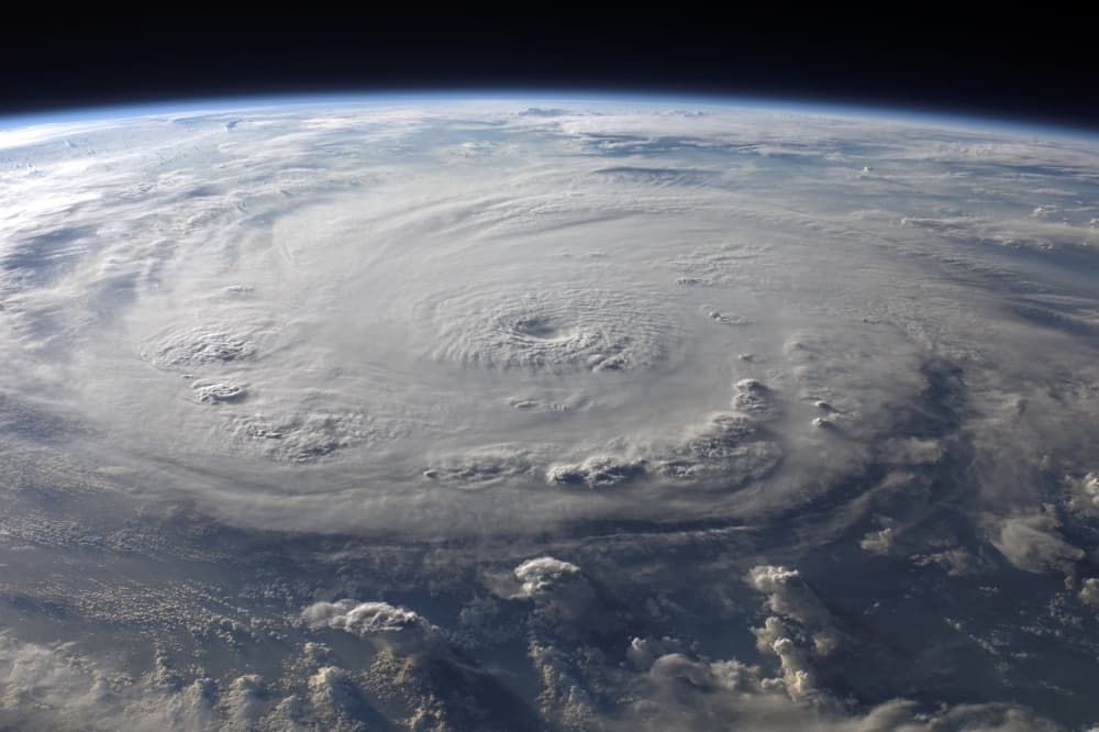
With hurricane season beginning June 1 and running through Nov. 30, National Oceanic and Atmospheric Administration officials predict an above-normal Atlantic hurricane season.
What you need to know
The latest NOAA forecasts are urging residents along the Atlantic Ocean and the surrounding areas to expect a more active hurricane season than normal, with a 60% chance of an above-normal season, Ken Graham, director for the National Weather Service, said at a May 22 NOAA news conference.
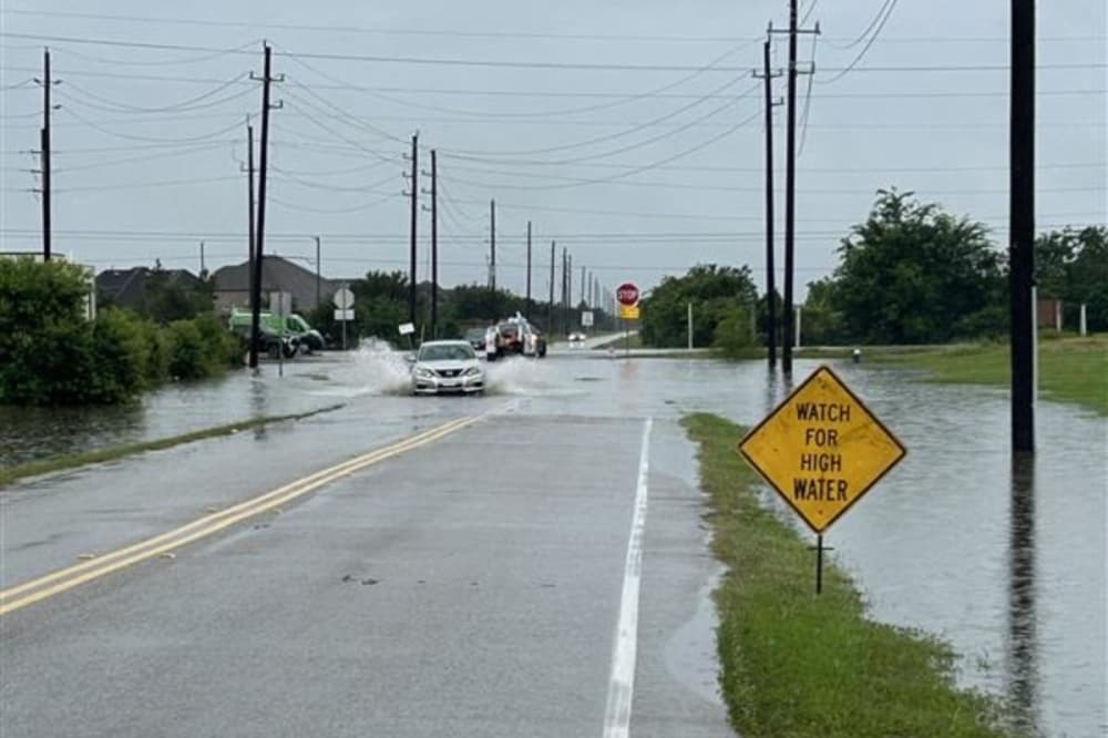
This comes after the Houston area experienced several weather events in 2024 including flooding, tornadoes and Hurricane Beryl, which left 2.2 million CenterPoint Energy customers without power, Community Impact reported.
According to predictions, the NOAA is forecasting a range of 13 to 19 named storms in the Atlantic Ocean with winds of 39 mph or higher, including:
- Six to 10 hurricanes with winds of 74 mph or higher
- Three to five major hurricanes with winds of 111 mph or higher
A closer look
Officials said there are numerous factors contributing to the predicted season, including:
- Warmer ocean temperatures in the Atlantic Ocean
- Forecasts for weak wind shear, which is a variation in wind velocity
- Potential for higher activity from the West African Monsoon, a primary starting point for Atlantic hurricanes
However, Graham said the NOAA is upgrading its Hurricane Analysis and Forecast System models, which will result in a 5% improvement in tracking and storm intensity forecasts. Additionally, forecasters will be able to provide more advance warning of potential hazards including issuing:
- Tropical cyclone advisories up to 72 hours before storm surge or tropical force winds
- Advance notice of tropical cyclone risk three weeks prior to landfall
“NOAA and the National Weather Service are using the most advanced weather models and cutting-edge hurricane tracking systems to provide Americans with real-time storm forecasts and warnings,” said U.S. Commerce Secretary Howard Lutnick in a May 22 news release. “With these models and forecasting tools, we have never been more prepared for hurricane season.”
The NOAA will continue offering Spanish updates and advisories as well as using an experimental version of the forecast cone graphic with depiction of inland tropical storms and hurricane watches, according to the release. A rip current risk map will also be provided when at least one active storm is present.
Saying prepared
According to its website, NOAA recommends residents prepare by:
- Developing an evacuation plan
- Assembling disaster supplies, including food, water, batteries, chargers, a radio and cash
- Checking on insurance—including flood insurance—and documenting their possessions
- Creating a communication plan with a handwritten list of contacts
- Strengthening homes by trimming trees, installing storm shutters and sealing outside wall openings
The bottom line
As the season begins, Graham said it’s essential to prepare now, stay prepared and continue watching forecasts beyond initial warnings.
“In my 30 years at the National Weather Service, we’ve never had more advanced models and warning systems in place to monitor the weather,” he said. “This outlook is a call to action: be prepared. Take proactive steps now to make a plan and gather supplies to ensure you're ready before a storm threatens."