Missouri City officials are working to improve mobility and safety in the Sienna area.
The big picture
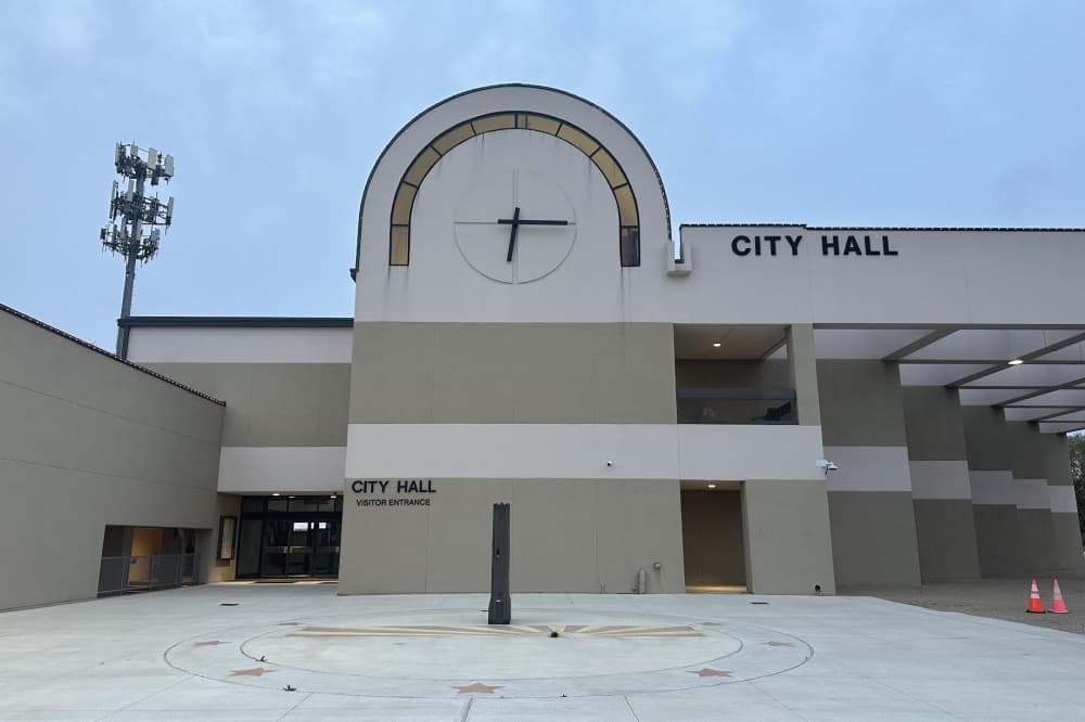
At a May 18 meeting, Missouri City City Council approved the second reading of an ordinance to update the city’s major thoroughfare plan for the Sienna area following its first approval at a special meeting May 14.
The thoroughfare plan, which is a part of the mobility master plan, serves as a visionary document for the city’s major thoroughfare development, per agenda documents. The plan was last updated in 2023.
The specifics
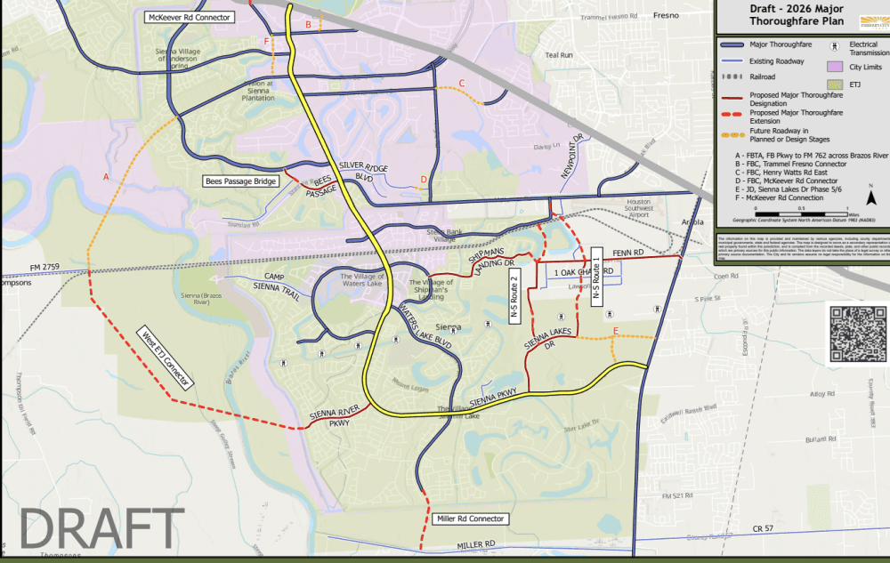
The plan includes short-, medium- and long-term conceptual segments for future thoroughfare segments in the Sienna area, City Engineer Vincenzo Corazza said.
Short-term solutions, which could be implemented between one and five years, include:
- Bees Passage Bridge to connect Sienna Ranch Road to the north and Sienna Parkway to the east via a bridge
- Miller Road connector, which would extend Water Lake Boulevard south across the levee to Miller Road
Meanwhile, medium-term connections include three options for additional north-south routes to Sienna Parkway to be considered in five to 10 years. Options include:
North-South route 1
- Would close gaps between Steep Bank Trace and Fenn Road, as well as between Oak Chase Road and Park Crossing Drive
- Designates Sienna Lakes Drive, Park Crossing Drive and Barney Lane as major thoroughfares
North-South route 2
- Would close gaps between Steep Bank Trace and Fenn Road, as well as between Lawson Road and Crown Ridge Drive
- Designates Sienna Lakes Drive, Crown Ridge Drive, Lawson Road, Broussard Lane, London Lane, Brushy Lake Drive, Shipmans Landing and Fenn Road as major thoroughfares
A third North-South was added between routes one and two during the May 18 meeting as another possible option.
Additionally, a long-term solution—which is 10 to 20 years out—includes a western extraterritorial jurisdiction connector, which would connect Fort Bend Parkway at FM 2759 to Sienna River Parkway, per agenda documents.
Looking ahead
Following its approval, Corazza said next steps for potential implementation include feasibility studies, obtaining funding, right-of-way and land acquisition, as well as design and construction. However, city officials can revisit the plan at any time as it is a living document.
“Twenty years from now this map will not look like this,” Mayor Robin Elackatt said. “What we are trying to accomplish here is to get the best of what we can.”