Editor's note: This article was updated after publication to include a city-published online tool where residents and business owners can determine whether their addresses may be affected.
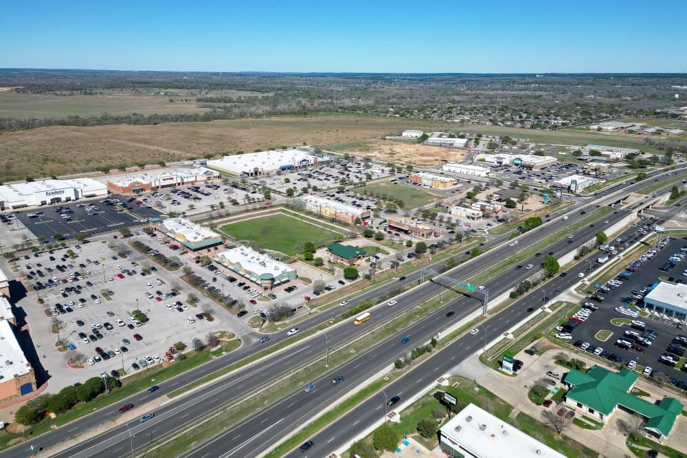
Nearly 1,700 Bastrop County addresses along SH 71 could be renumbered as local leaders work to fix a confusing labeling system that officials said could delay emergency response.
A committee tasked with reviewing potential solutions is expected to begin meeting later this summer.
What's happening
According to county documents, officials estimate 1,697 addresses could be affected, including:
- 1,080 residential units
- 529 commercial businesses, such as hospitals and restaurants
- 71 civic sites, such as traffic signals and cell towers
- 17 miscellaneous properties, such as parks and open lots
County staff warned during an April 13 meeting that technical flaws in SH 71’s addressing system—such as odd and even numbers on the same side of the highway and irregular east-west labeling—are creating "operational challenges and public safety concerns."
"While our dispatch team has done an excellent job locating addresses by verifying directional prefixes, city limits, and postal communities, the current structure still requires additional interpretation," the report reads. "This extra complexity increases the potential for confusion during emergency responses when clarity, accuracy and speed are critical."
Why it matters
Allen Johnson, executive director of Bastrop County Emergency Services District No. 3 and a consulting partner for the committee, said addressing along SH 71 is complicated today.
"The starting and stopping of address ranges creates the potential that the 9-1-1 [response] will not be addressed to the specific emergency location and may be off by many miles," he told Community Impact.
Under consideration
A proposed fix highlighted by county staff members in April would remove east-west directional prefixes—creating a continuous addressing sequence along SH 71 in Bastrop County, starting with the 100 block at the Fayette County line and ending with the 9000 block at the Travis County line.
What you need to know
Residents and business owners can use the city’s transparency web tool here to see if their addresses may be affected.
What's next
The SH 71 Addressing/Readdressing Advisory Committee will hold its inaugural meeting in August or September to begin evaluating the corridor and developing solutions, Lyndsey Schroeder, executive assistant for Bastrop County Judge Gregory Klaus, told Community Impact.
It is expected to include representatives from Bastrop County, the city of Bastrop and the city of Smithville, with input from emergency response and dispatch partners.
Bastrop Mayor Pro Tem John Kirkland was appointed to represent the city of Bastrop during a June 9 council meeting. As of July 1, no other appointments had been publicly announced and officials had not responded to a request for more information.